

Austin weather: Severe thunderstorm warnings, flood advisories issued for Sunday night
Austin weather: May 10 overnight forecast
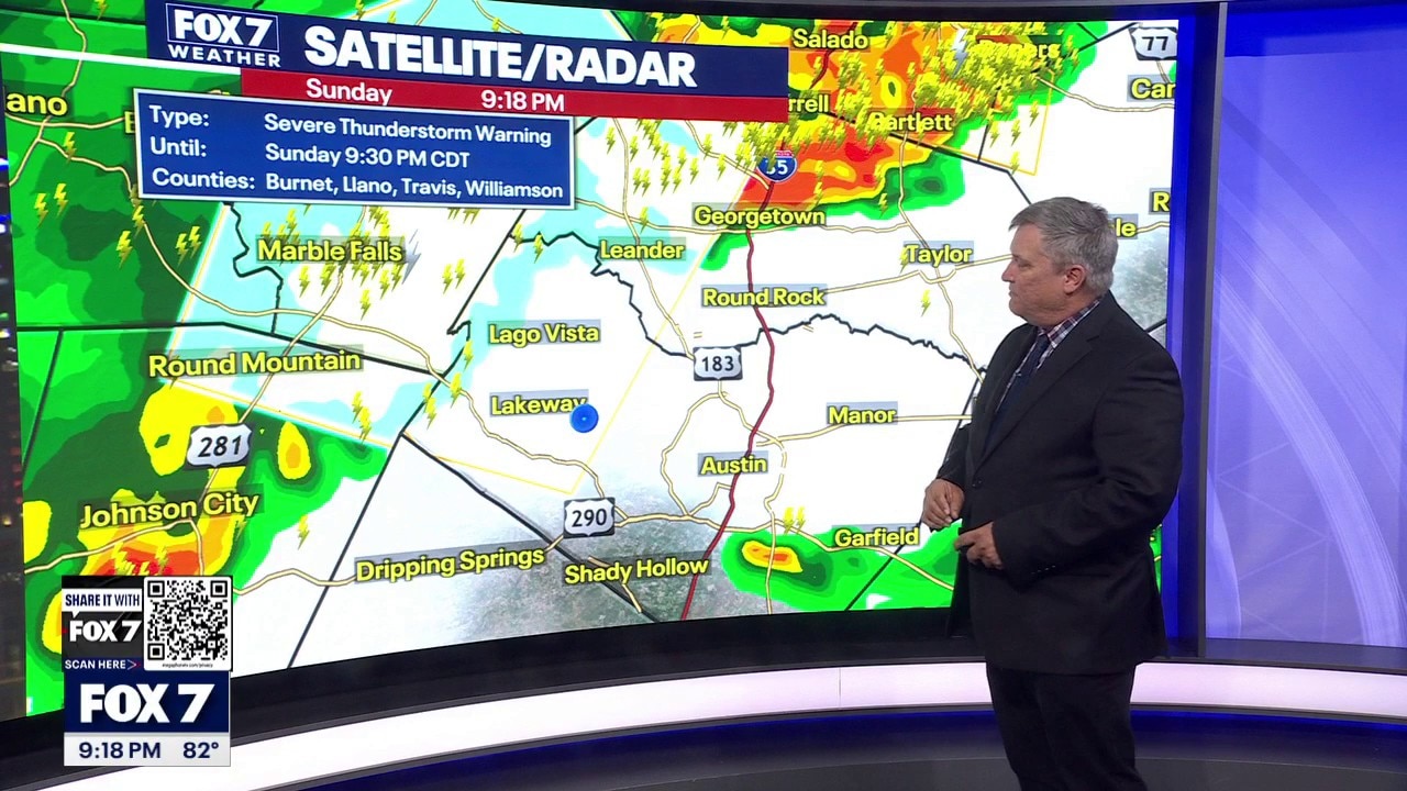
FOX 7's Cary Burgess gives the latest in severe thunderstorm warnings across Central Texas as a wave of severe weather hits the state.
AUSTIN - A tranquil Mother’s Day across Central Texas is expected to give way to a night of dangerous weather as an approaching cold front brings the threat of hurricane-force winds and large hail to the region.
10:04 p.m. update
Severe thunderstorm warnings have been issued until 11:00 p.m. for Hays County, Caldwell County, Bastrop County and Travis County.
8:50 p.m. update
A flood advisory was issued for Llano County and Burnet County until 11:45 p.m.
8:30 p.m. update
Severe thunderstorm warnings have been issued for Blanco County, Travis County, Llano County and Burnet County until 9:30 p.m.
5:17 p.m. update
Severe thunderstorm watches have been issued for the following counties until 11:00 p.m.
- Gillespie County
- Hays County
- Caldwell County
- Bastrop County
- Blanco County
- Lee County
- Travis County
- Llano County
- Burnet County
- Williamson County
- Fayette County
Severe storms tonight
The Storm Prediction Center has expanded severe weather risk zones for Sunday evening, placing much of the Hill Country under an "enhanced" level three risk, while Austin and surrounding areas remain under a level two "slight" risk.
While the daytime will remain hot and humid with highs reaching 91 degrees, the atmosphere will turn volatile after sunset.
Download the FOX 7 Austin WAPP
High-risk areas
Timeline:
The primary threats are expected to arrive between 8 p.m. and 9 p.m. in the Austin metro area as a line of storms pushes from the northwest to the southeast. Experts are particularly concerned about damaging straight-line winds, with some gusts potentially exceeding 75 mph.
Additionally, a "hatched" area to the north of Austin indicates the potential for significant hail stones measuring 2 inches or larger in diameter. While the primary tornado threat remains north of the region, officials said they cannot entirely rule out a brief "spin-up" tornado or localized flooding in areas that see heavy rainfall.
The shift in weather comes one day after an unforecasted storm produced a funnel cloud in Hutto and dropped hail on Williamson County, serving as a reminder of how quickly conditions can change.
Once the front passes, Monday is expected to be significantly cooler and quieter, with high temperatures dropping into the lower 80s. The region is forecast to warm back into the 90s later in the week, with the next minor chance for rain arriving Saturday.
The Source: Information in this article is from the FOX 7 Austin weather team.