

Tropical Storm Edouard tracker: Houston impacts, hurricane watch, path
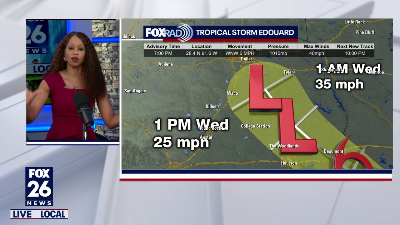
Tropical Storm Edouard forms in Gulf, on track for Texas
Tropical Storm Edouard formed in the Gulf on Monday as it approaches Southeast Texas.
HOUSTON - Tropical Storm Edouard has formed in the Gulf on a path for Texas.
The Houston area can expect heavy rain on Tuesday.
Latest Forecast: Storm track, path, timing
Tropical Depression Five strengthened into a tropical storm on Monday evening. Maximum sustained winds increased to near 40 mph.
As of 10 p.m., Edouard was located about 155 miles southeast of Port Arthur and was moving towards the west north-west at 7 mph.
Edouard is expected to make landfall between Galveston and Port Arthur on Tuesday afternoon.
Additional strengthening is expected. The National Hurricane Center says Edouard could approach hurricane strength before reaching the coast.
Warnings and watches
Hurricane Watch
A Hurricane Watch has been issued from High Island, Texas to Cameron, Louisiana.
Storm Surge Warning
A Storm Surge Warning has been issued from High Island, Texas to the Vermilion/Cameron Parish Line.
Tropical Storm Warning
A Tropical Storm Warning has been issued from Port Bolivar, Texas to the Vermilion/Iberia Parish Line in Louisiana.
Tropical storm conditions are expected in the warning area within the next 24 hours or so. These are the areas with the highest potential to experience possible strong wind gusts over 50 miles per hour that could cause some spotty power outages and wind damage.
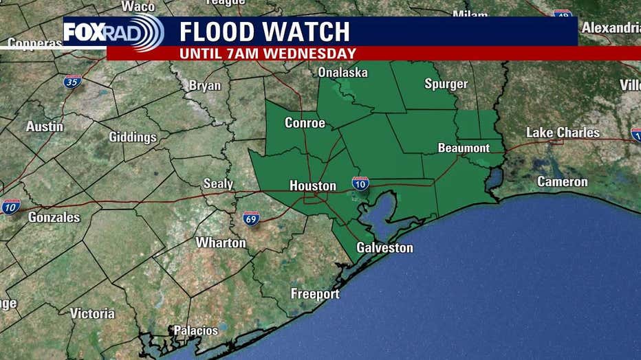
Flood Watch
A flood watch is in effect from Monday night through Wednesday morning. The watch covers a portion of Southeast Texas including Bolivar Peninsula, Chambers, Coastal Galveston, Coastal Harris, Galveston Island, Inland Galveston, Inland Harris, Montgomery, Northern Liberty, Polk, San Jacinto and Southern Liberty.
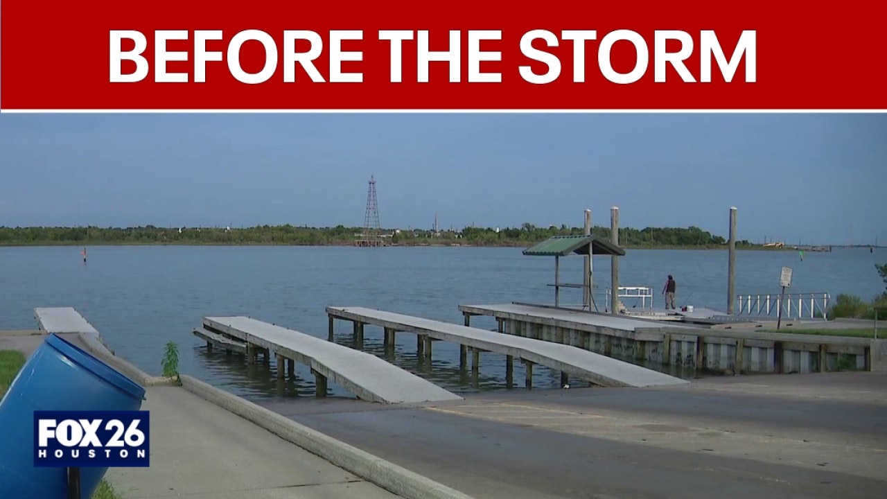
Southeast Texas communities brace for Tropical Storm Edouard
Tropical Storm Edouard is on a path for Southeast Texas. Here's a look at how communities are preparing.
Houston, Southeast Texas impacts
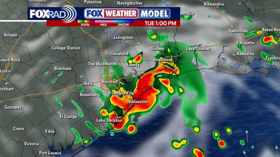
The system is expected to make landfall near or just east of Galveston Tuesday, bringing widespread showers and storms. Heavy downpours could lead to street flooding, especially near and east of Houston.
A Flood Watch has been issued near and east of I-45 including the Houston metro area from 1 a.m. Tuesday until 7 a.m. Wednesday. Two to five inches of rain will be possible with isolated 6 to 9 inch totals in a few spots. Remember to avoid any flooded areas while walking or driving.
Heavy rainfall and localized flooding will be the biggest concern. Models are now projecting 2 to 5 inch totals near I- 45 with isolated 6 to 9 inch totals possible East of I-45.
Some gusty winds over 40 mph are possible near the coast and east of the center, but widespread damaging wind impacts are not expected. The biggest threat for tropical storm force winds will be Southeast of Houston around Chambers County.
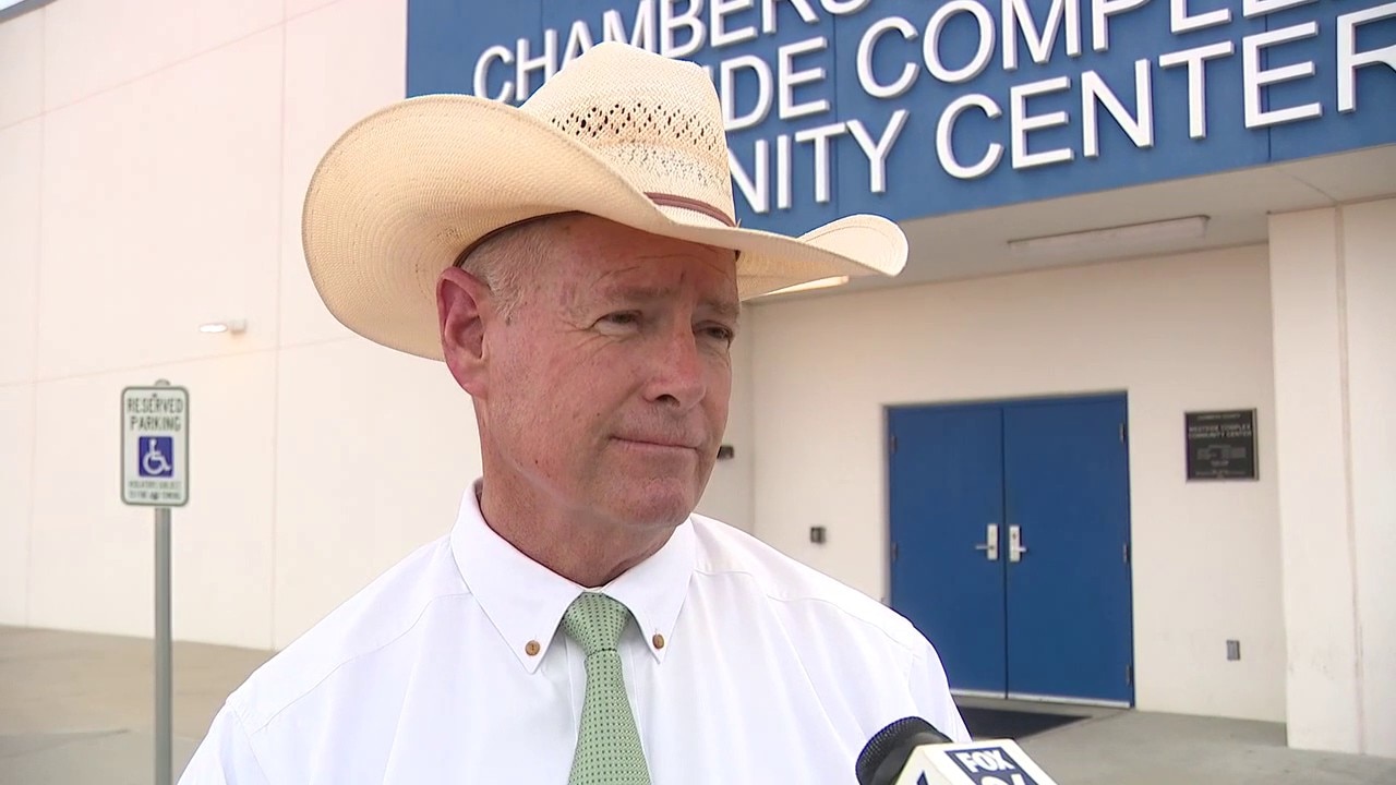
Chambers County sheriff discusses Tropical Storm Edouard preps
Chambers County Sheriff Brian Hawthorne discusses preparations for Tropical Storm Edouard.
School closures
Some school districts have already announced closures for Tuesday, including Dayton ISD, Crosby ISD, and Huffman ISD.
Click here to see the full list.
The Source: The information in this article comes from the FOX 26 weather team and advisories from the National Hurricane Center.