

Austin weather: Flood Watch in effect until tonight
Austin weather: Flood watch in effect today
A Flood Watch is in effect for Friday, May 1 and it's going to be a cloudy, rainy, cool and breezy day with a few more rounds of showers and storms possible. Zack Shields has more.
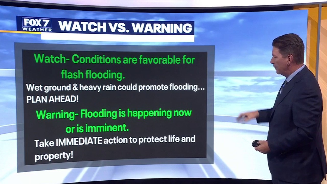
AUSTIN, Texas - A Flood Watch is in effect for all of Central Texas until tonight (May 1).
Timeline:
It's going to be a cloudy, rainy, cool and breezy first day of May.
A few more rounds of showers and storms are possible, with the next one arriving early afternoon and the last one pushing through late in the day.
A secondary front arrives this evening, shutting off the rain and increasing the northerly wind to help clear the skies by tomorrow morning.
The Flood Watch is set to expire at 9 p.m. CT tonight.
What threats could we see?
There is a low to moderate risk of flash flooding and slightly higher chance of street flooding.
The highest rain totals and flooding risk will be east of I-35 the rest of the day.
Areas south of Austin have a marginal risk of small to moderate hail but lightning and pockets of heavy rain will be the main concerns.
What's next:
We will be waking up in the 40s and 50s on Saturday, but it will be much nicer, brighter and drier for the weekend.

What you can do:
Track your local forecast for the Austin area quickly with the free FOX 7 WAPP.
The design gives you radar, hourly, and 7-day weather information just by scrolling.
Our weather alerts will warn you early and help you stay safe.
You can also keep an eye on low water crossings and road closures at atxfloods and DriveTexas.org.
The Source: Information in this report comes from Zack Shields