

Austin weather: Multiple rounds of storms and heavy rain
Austin weather: Storms and rain ahead
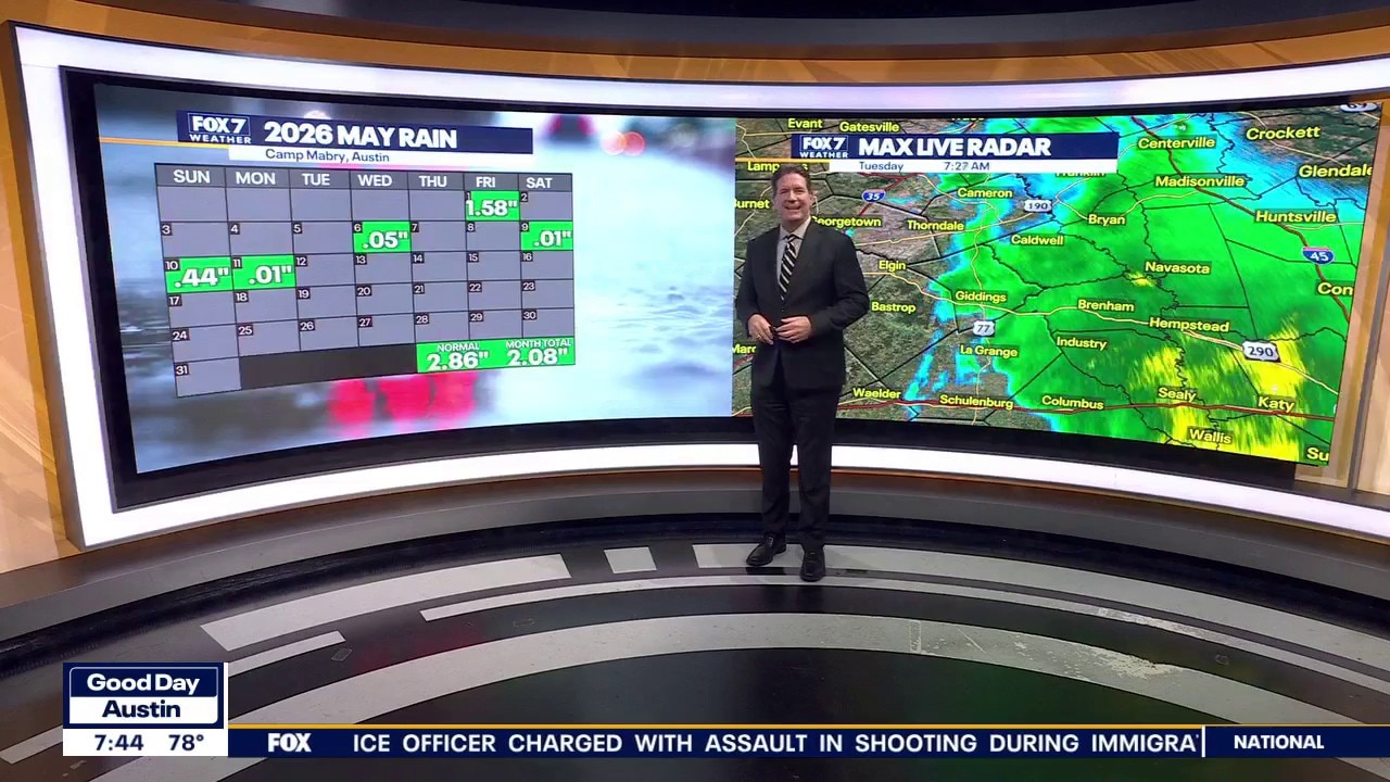
Expect a stormy day and week. Zack Shields has all the details in his full forecast.
AUSTIN, Texas - On storm watch starting tonight.
This will be the beginning of a very active pattern that will include multiple rounds of storms and heavy rain and cooling trend.
Timeline:

The storm chances increase this evening and will continue overnight.
We will start with isolated storms featuring small to moderate sized hail mostly likely to occur in the Hill Country.

Then a line of storms featuring damaging wind potential will come through overnight.

The timing of most of the storms is expected to be as follows:
- Hill Country 8 p.m. to 12 a.m.
- I-35 Corridor: 9 p.m. to 1 a.m.
- Eastern Counties: 12 a.m. to 3 a.m.

Why you should care:

All of Central Texas is under a LEVEL 2 out of 5 severe risk, with hail and damaging winds the main threat along with lightning.
Some of the storms could drop an inch of rain tonight. This is why the area is also under a slight risk of flooding.

Hill Country has the highest chances of damaging hail of 1 to 2" diameter hail.

Wind gusts of up to 60 mph to 70 mph are possible.

Isolated tornadoes are also a threat.
What's next:

This is just the opening act because the Western low is stalling out for the next seven days.
The conveyor belt of moisture and upper level disturbances will be pointed at Texas, keeping all the storm ingredients in play through the weekend.
The tricky part of the forecast will be the timing of the clusters of storms.
For now, most of the rounds of storms will happen late in the evening or at night.

Future rain totals are trending higher over the next seven days.
Much of the area could get 4 to 6" of rain through the weekend.
As the ground gets super saturated, and we continue to get rounds of heavy rain, the flash and river flooding threat will increase.
What you can do:
Track your local forecast for the Austin area quickly with the free FOX 7 WAPP.
The design gives you radar, hourly, and 7-day weather information just by scrolling.
Our weather alerts will warn you early and help you stay safe.
You can also keep an eye on low water crossings and road closures at atxfloods and DriveTexas.org.
The Source: Information from meteorologist Zack Shields.