

Austin weather: Will severe storms hit Central Texas?
Austin weather: Chances for rain continue
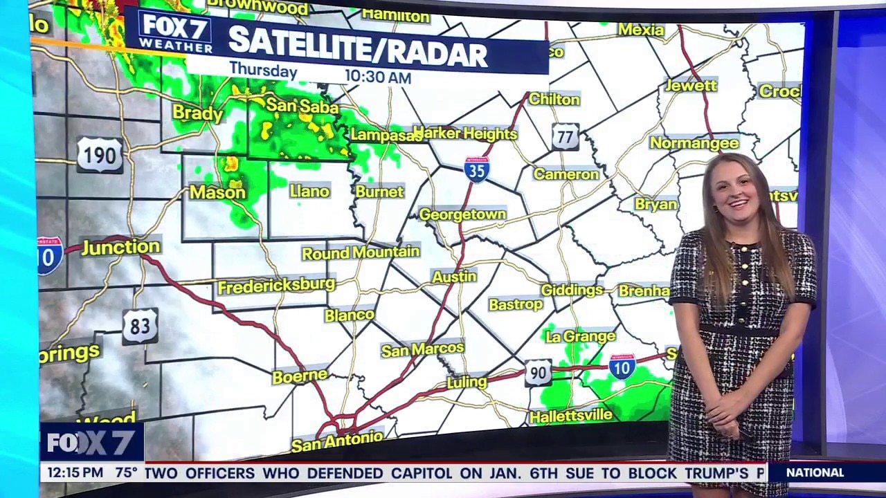
Will definitely need to keep those umbrellas nearby for the foreseeable future. Adaleigh Rowe has all the details in her full forecast.

AUSTIN, Texas - The conveyor belt of rain is still on as we expect another round of late-day storms.
A stalled front will team up with an upper low to kick off storms west of Austin this afternoon.
Then the complex of storms will slowly push to southeast and impact most of the area by this evening.

Timeline:

Hill Country will be impacted first from 4 p.m. to 7 p.m. and then I-35 corridor will be next between 7 and 10 p.m.
Another round could clip the area in the middle of the night.

Why you should care:

Only the Hill Country is under a marginal risk of small hail and gusty winds.
Strong damaging winds will be the main concern with this round.
What's next:

Drying out and warming up on Friday before the rain and storm chances increase this weekend.
The main upper low pivots into Texas, increasing the coverage and intensity of the rain late Saturday afternoon and Sunday afternoon.

Numerous storms on Saturday, scattered on Sunday and back to isolated on Monday.

Another 2 to 5" of rain is possible in the next seven days.
Localized flooding will be a bigger concern this weekend.

What you can do:
Track your local forecast for the Austin area quickly with the free FOX 7 WAPP.
The design gives you radar, hourly, and 7-day weather information just by scrolling.
Our weather alerts will warn you early and help you stay safe.
You can also keep an eye on low water crossings and road closures at atxfloods and DriveTexas.org.
The Source: Information from meteorologists Zack Shields and Adaleigh Rowe.